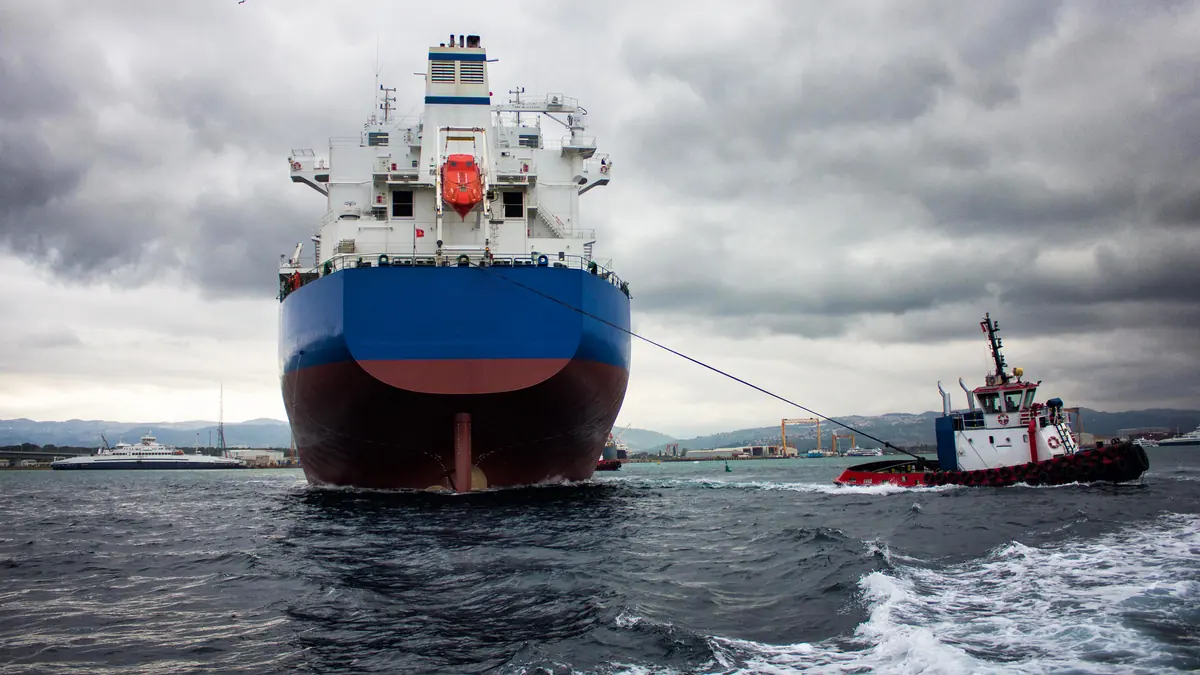


Services
Expert, science-based guidance for safe and efficient maritime operations
Oceanroute delivers accurate weather forecasting, route optimization, and real-time vessel intelligence, combined with continuous performance monitoring, voyage analysis, historic passage reconstruction, and expert support to enhance safety, efficiency, and operational decision-making.
Daily Weather Forecasting
Forecasts and advisory delivered every day by dedicated Marine Meteorologists.
Daily forecasting and advisory are delivered by dedicated Marine Meteorologists who combine deep domain expertise with access to the latest, cutting-edge weather forecasting models and analytical software.
Through direct, daily communication with vessel Masters and clients, they provide timely updates and forward-looking guidance tailored to each voyage, ensuring that routing decisions are continuously refined to support safe navigation and optimal operational efficiency.
- Dedicated Marine Meteorologists
- Direct daily contact with Masters and clients
- Continuous, forward-looking guidance
- Decisions refined as conditions evolve
Route Planning
Voyage-specific plans aligned with operational and commercial objectives.
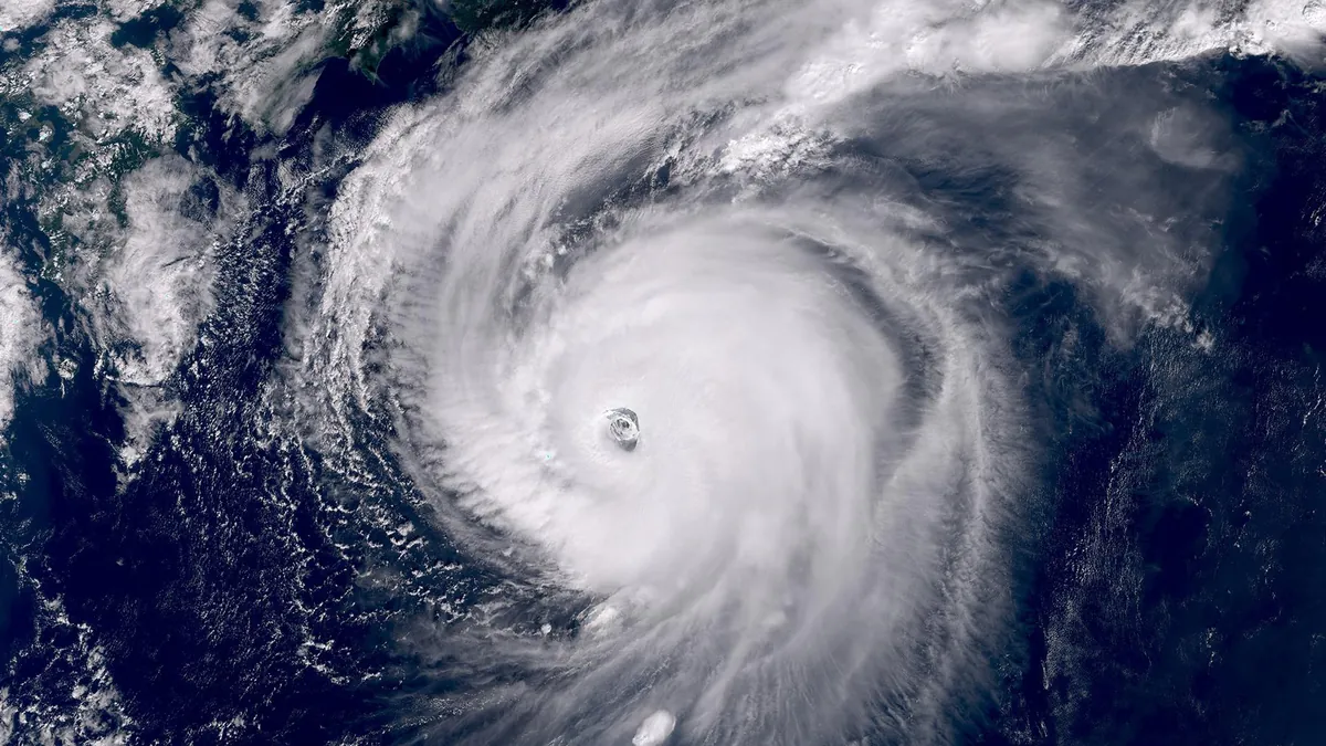
Voyage-specific route planning is developed to align precisely with both operational requirements and commercial objectives, so each passage is optimized from the outset.
We recognize that effective weather routing extends beyond understanding weather systems and ocean conditions—it also requires a deep appreciation of the commercial realities of shipping, including fuel consumption, schedule commitments, operational constraints, and voyage economics. By evaluating these factors alongside evolving meteorological and oceanographic conditions, we develop routing strategies that balance safety, efficiency, and commercial performance.
Plans are tailored to the operation — drawing on extensive experience across commercial liner trades, tramp shipping, towing and offshore operations, yachting, and project cargo. Strategies are prepared before departure and refined continuously underway as weather data and constraints evolve.
- Continuous monitoring of weather conditions and forecast developments to maintain voyage safety, efficiency, and operational reliability.
- Analysis of voyage duration, fuel consumption, daily voyage expenses, and cost implications.
- Ongoing ETA monitoring and updates for transparency and efficiency.
Extreme Weather Alerts
Protect your crew, cargo, and assets from severe weather systems.
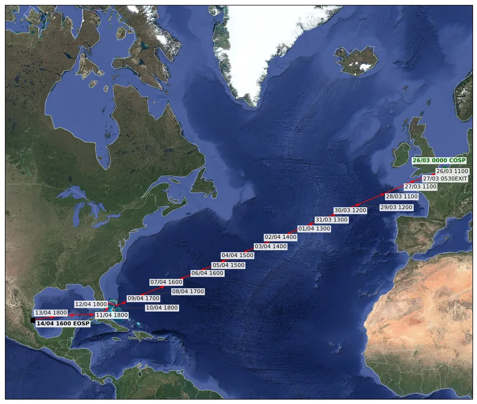
Protect your crew, cargo, and assets. We utilize advanced probabilistic forecasts and high-resolution ensemble models for the early detection and tracking of tropical cyclones and severe weather systems.
Our proactive risk assessment ensures your vessels navigate safely away from danger zones, minimizing weather-related damages and delays.
- Probabilistic forecasts and high-resolution ensembles
- Early detection of tropical cyclones
- Proactive risk assessment per vessel
- Reduced exposure to damages and delays
Performance Analysis
Continuous performance monitoring with structured post-voyage analysis.
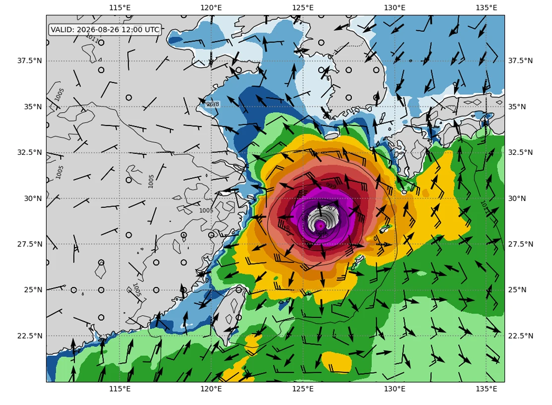
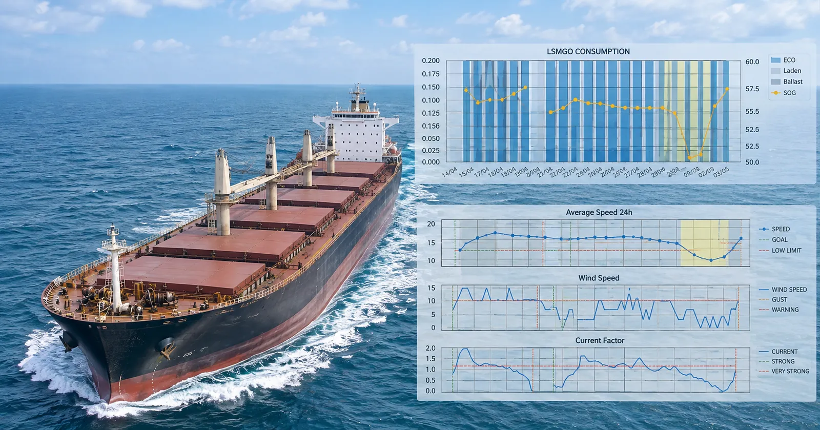
Continuous performance monitoring and in-depth voyage analysis are conducted throughout the entire voyage to ensure operational transparency, compliance, and commercial accountability. Vessel performance is assessed daily using multiple world-leading meteorological and oceanographic datasets, including ECMWF, CMEMS, GFS, NOAA, ICON, and RTOFS, allowing for a robust evaluation of environmental and operational conditions.
Results are communicated through daily performance updates on the client platform, with direct contact established in cases of deviation or non-compliance to ensure timely awareness.
Following voyage completion, a comprehensive post-voyage analysis report is produced in accordance with charter-party terms, providing a structured and objective assessment of vessel performance, validating operational efficiency, and supporting claims or dispute resolution where required.
- Daily performance updates on the client platform
- Datasets: ECMWF, CMEMS, GFS, NOAA, ICON, RTOFS
- Post-voyage reports in line with charter-party terms
- Direct contact on deviation or non-compliance
Technical & Commercial Support for Performance and Claims
Robust, defensible voyage analysis built on recognized meteorological data and AIS.
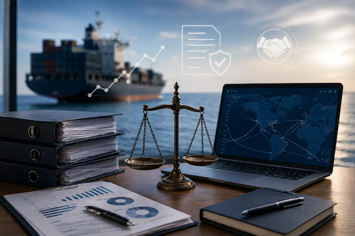
We provide comprehensive technical and commercial support for performance assessment and claims handling, leveraging reliable and internationally recognized meteorological datasets alongside AIS vessel position data to ensure robust and defensible voyage analysis.
Detailed reports are prepared in strict compliance with the governing charter-party terms, ensuring alignment with contractual obligations and evidentiary standards. Our services extend both to vessels currently under active monitoring and to retrospective case evaluations, where voyages are reconstructed based on available operational data and documented evidence, followed by delivery of structured analytical findings and conclusions.
Continuous post-report support is maintained to address queries, disputes, or conflicts arising from the analysis, ensuring sustained assistance throughout the resolution process.
- Recognized meteorological datasets + AIS vessel data
- Reports aligned to governing charter-party terms
- Active monitoring and retrospective case evaluation
- Ongoing post-report support through dispute resolution
Live Vessel Tracking & Performance Monitoring
Track your fleet on a dynamic map integrated with marine weather layers.
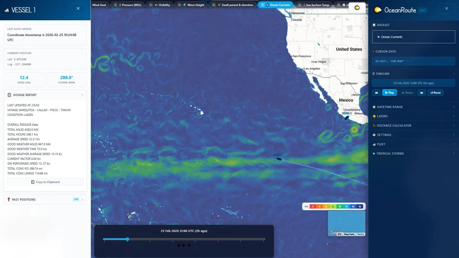
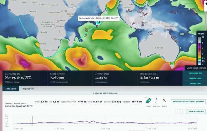
Stay connected to your fleet in real time through our interactive web portal, where vessels can be tracked globally on a dynamic map seamlessly integrated with detailed marine weather layers and forecast data.
Each vessel profile provides live position, speed, and course information, alongside a daily updated performance summary, ensuring full transparency and operational visibility across the voyage, including ongoing speed and consumption metrics.
- Live position, speed, and course per vessel
- Daily performance summary on every profile
- Marine weather and forecast layers integrated
- Ongoing speed and consumption metrics
Spot Forecasts
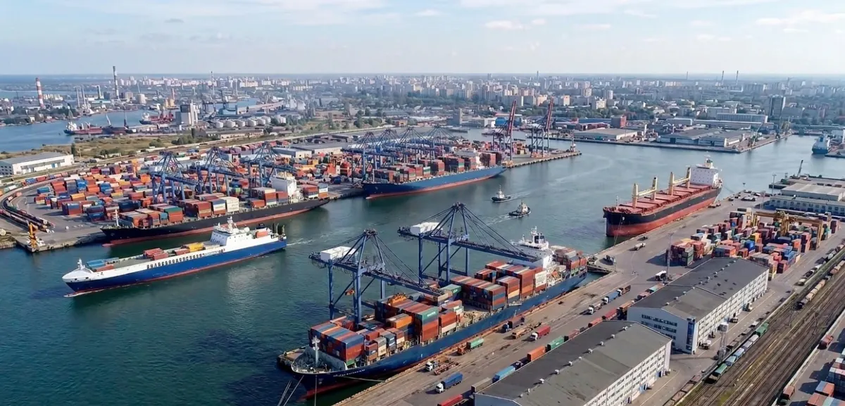
Accurate, localized weather forecasts for ports, offshore installations, oil and gas platforms, terminals, anchorages, offshore loading and discharge areas, and other areas of maritime interest.
Our spot forecasts provide detailed weather conditions for specific locations, supporting informed operational planning and safer, more efficient maritime activities.
Weather Visualization Software
Modern weather visualization for onboard crews and shore teams.
Oceanroute software enables onboard crews and shore teams to visualize daily weather conditions through a modern, intuitive interface that integrates high-resolution marine forecasts.
This provides clearer situational awareness and supports more informed operational decisions throughout the voyage.
- Integrated high-resolution marine forecasts
- Modern, intuitive visualization
- Onboard and shore-based use
- Clearer situational awareness, better decisions
Climatological Analysis & Historical Weather Data
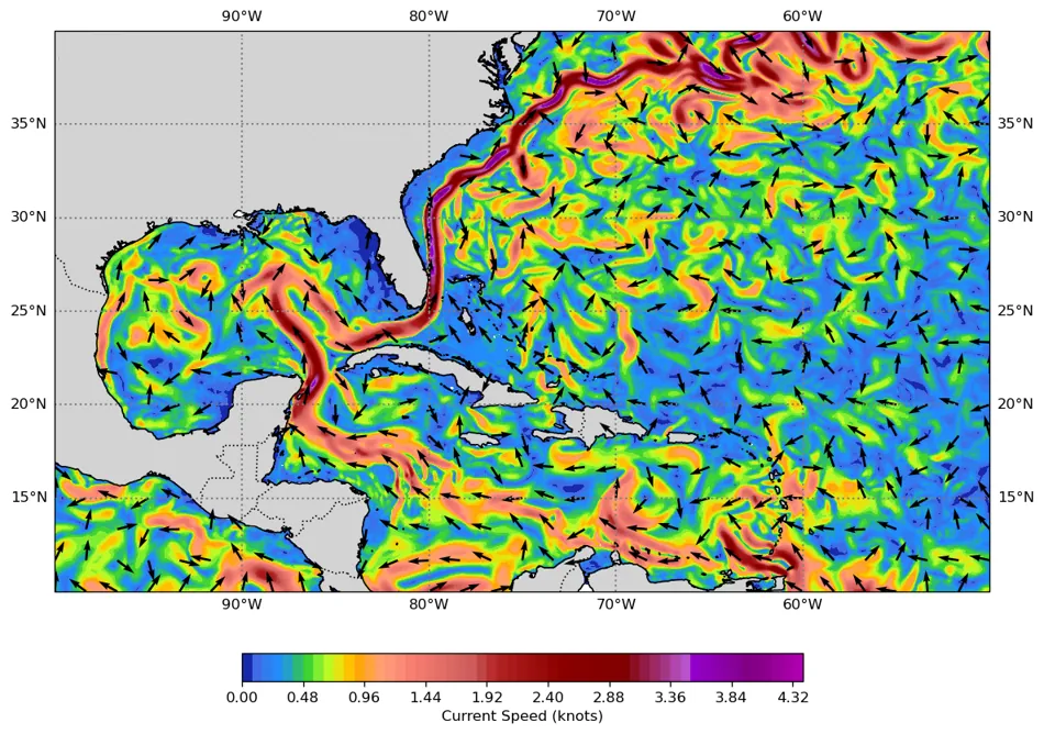
Develop a comprehensive understanding of the climatological characteristics of your area of interest with tailored historical metocean datasets and expert analysis.
We provide high-quality historical weather and oceanographic data customized to your operational requirements, enabling informed planning, risk assessment, and decision-making.
To complement the data, our meteorologists prepare a detailed climatological report that analyzes the prevailing weather patterns, seasonal variability, and significant meteorological and oceanographic phenomena affecting the region.
This expert interpretation transforms historical observations into actionable insights for your operations.
Laytime Calculation Assistance
Professional meteorological support for laytime calculations and weather-related disputes.
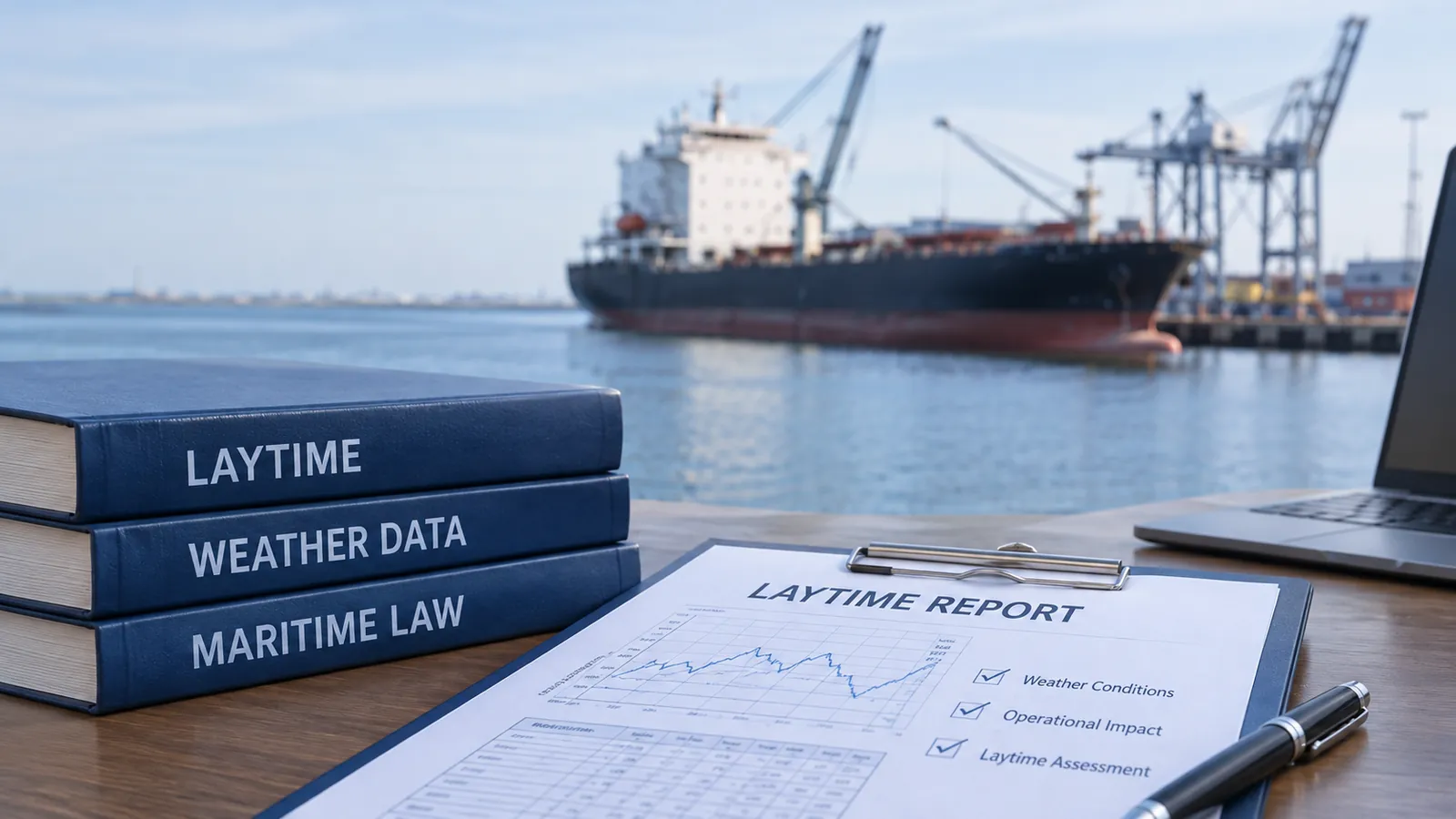
We provide detailed reports documenting historical weather conditions at relevant ports, offshore locations, and areas of operation, drawing on archived observations from meteorological stations, historical weather databases, and other reliable data sources.
Our reports help establish the actual weather conditions during relevant periods, assess their potential impact on cargo operations, and support shipowners, charterers, operators, and their legal representatives in the verification and resolution of laytime and demurrage disputes.
Emissions Monitoring & Reporting
Comprehensive vessel emissions analysis and reporting for evolving regulatory requirements.
We provide comprehensive vessel emissions analysis and reporting, helping shipowners and operators monitor environmental performance and meet evolving regulatory requirements.
Our services cover key maritime frameworks, including EU MRV, EU ETS, FuelEU and the Carbon Intensity Indicator (CII). We deliver clear, reliable data to help our clients track compliance, evaluate carbon exposure and manage their environmental responsibilities.
Specialized Voyage Planning
Tailored voyage planning for towing and specialized maritime operations.
With extensive experience in weather routing for towing and specialized maritime operations, we provide tailored voyage planning based on specific operational requirements.
By assessing vessel limitations, operational thresholds, and detailed weather and sea-state forecasts, we identify suitable weather windows and provide guidance to support the safe and efficient execution of complex operations, eliminating exposure to adverse weather.